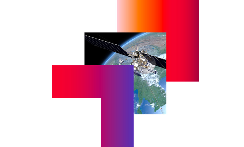
The ‘power of where’: Geospatial technology

David Pegg, Director, Consulting Services at CGI, discusses the role of geospatial as a ‘democratiser’ and economic catalyst.
Welcome to the world of geospatial technology, the ‘power of where’. Geospatial is not just mapping technology and location data, geospatial provides everyone, including organisations the length and breadth of Northern Ireland, with the ability to make records accessible to everyone.
The newest geospatial technologies open up access to traditional location data and create an added ‘layer’ that sits on top of the tech, for instance, digital mapping, to provide the automated intelligence needed to add real value to citizens in their everyday lives. In other words, geospatial is the ultimate democratiser as it encourages us all to engage to make our services better.
This is especially the case with land and property services. Geospatial opens up a wealth of potential opportunities, such as valuing all domestic and non-domestic properties in Northern Ireland, following up and processing payments for rate bills, inspecting vacant properties, providing up-to-date accurate land information services, or creating technology that monitors the environmental health of key parts of our ecosystem.
CGI is a global leader in this geospatial industry. Its reputation as a significant player has been built through an extensive set of local delivery centres, of which Northern Ireland has become the newest, and backed by a network of over 700 geospatial experts worldwide, representing one of the largest geospatial consultancies in the world. These unique resources are available to support CGI’s professionals and clients across the globe and bring its extensive expertise to the doorstep of our customers.
From seabed to space, CGI has a track record of combining these key principles with its global experience and detailed local knowledge. For example, CGI is working with the charity Project Seagrass. Using geospatial, CGI is aiding the conservation of seagrass, one of the UK’s most promising carbon sinks capable of absorbing around 10 per cent of the UK’s CO2 emissions. Together, CGI and Project Seagrass analysed the rich data source of Orkney and its seagrass meadows to develop a unique identification algorithm which can locate and quantify meadows worldwide, including along the shores of Northern Ireland.
A further example is the Welsh Government harnessing CGI’s location technology to provide a single electronic register of all Wales’ common land, towns and village greens. The Welsh Government maintains records for 1,700 commons, towns and village greens, 12,500 maps, 25,000 register pages and 69,250 land and rights entries. Previously, for a member of the public to inspect the open register and maps, they had to physically travel to one of 22 local authorities’ offices. It was a predominantly paper-based system, with little to no way of sharing data. The Government wanted a single electronic register of all common land, where access online is possible through the click of a mouse.
CGI employed proven open architecture and standards, which offered all the tools needed to deploy location-based services. It also integrated a geospatial portal with back-office admin tools that allow data management including complex geometry editing. CGI managed the third-party scanning provider who digitised the paper records and maps, and using an agile development process delivered a user interface compliant with the Welsh Government’s recognised standards for design, so it had the necessary controls to ensure ease of use.
As a result, each of the 22 local authorities in Wales now has a single data store for these valuable records, while the Welsh Government can maintain autonomy over their own registered content. The solution also provides substantial efficiencies through ease of access and sharing of information for both the public and the local authorities. Other benefits included a National Data capture specification that details the ways text and boundaries can be scanned and digitised.

Geospatial capability is always evolving. As the above examples show, the outcomes can transform experiences not only for organisations looking to leverage them in a way that significantly enhances their service delivery, but also benefits end users. This in turn can have a hugely positive impact on our economy and environment. CGI is excited to bring these solutions to Northern Ireland.
![]()
For further information on CGI’s work in Northern Ireland visit www.cgi.com/uk/cgi-in-northern-ireland