Digital and technology

Unearthing geoscience data and research infrastructure potential

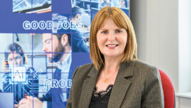
Marie Cowan, Director, Geological Survey of Northern Ireland (GSNI) discusses one of the region’s largest datasets and the Survey’s ambitious plans to transition to 4D models with real time data.

Operating as a key player in Northern Ireland’s knowledge economy, the work of the Geological Survey for Northern Ireland has been a crucial factor for both attracting foreign direct investment and for local development.

An office of the Department for Economy, GSNI in Belfast is staffed by 10 scientists from the British Geological Survey (BGS) and is one of five BGS regional sites across the UK. The Northern Ireland office has a memorandum of understanding with both its Irish and British survey counterparts for both shared practice, learning, co-operation and research.

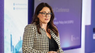
Speaking at agendaNi’s Digital Government conference, Cowan explains: “Annually we deal with over 600 enquiries, each very bespoke to what the individual client wants. We have over 100 private sector clients and support over 120 capital developments per year. We are also involved in strategic science research projects and work with over 35 universities and higher education institutes. The core foundation of the service we provide is data and research findings.”

Currently Northern Ireland claims to have the most diverse geology on the planet in its c. 14000km2. It is now also the most mapped part of the earth based on data acquired and managed by GSNI including:

• mapping (digital, analog, historical, geochemical, geophysical);
• borehole data, site investigation records and reports, ground conditions;
• historical mines, quarries and pits data;
• groundwater and geotechnical databases;
• mineral resources and mineral occurrence data;
• energy (oil and gas, coal, lignite, peat, deep geothermal and ground source heat, compressed air and energy storage); and
• 3-dimensional sub-surface geological models.

Cowan explains that BGS holds data dating back to 1835 and has moved to making as much of it as possible available online, with a drive towards 4D real-time relevance for their users.

“GSNI holds an extensive archive of maps, boreholes and site investigation reports; detailed urban and regional geochemical and geophysical data, and publishes books, memoirs and reports,” she says.

“GSNI maps, models and monitors the ground we live on. Our geological research underpins natural resource decision making, promotes economic development and generates baseline data for environmental management.”

GSNI also contributes 30 datasets to both opendatani and Spatial NI, the Northern Ireland portal for geographic information, allowing for the geospatial viewing of a wide range of government datasets and comparisons for decision making.

As well as GSNI data supporting a range of infrastructure developments, including recent capital projects such as the M2 bus way, the River Foyle gas main crossing and Newry southern relief road, Cowan also points out their work has attracted foreign direct investment from natural resource exploration companies. 

“the public now expect to see environmental data openly available in real time.”

Highlighting the Tellus project (2004-2007), a DETI-funded, high resolution, industry standard, countrywide mapping, project which acquired geochemical and geophysical data across the entire region from soil, water and stream sediment samples and a low flying airborne survey. This resulted in the publication of open-accessible data and maps of over 55 elements including precious metals and environmental baseline data.

Cowan explains that following the Tellus project, GSNI secured Chancellor’s Innovation Funding to subsequently analyse and interpret this data between 2007 and 2010. Since then the EU-funded Tellus Border project took this methodology across the border into the six border counties of the Republic between 2010-2013 and Tellus.ie is currently ongoing to complete data acquisition across the rest of the island of Ireland and expected to finish in 2020.

“The results and analysis carried out during the Tellus project was of interest to a number of sectors including mineral and energy exploration companies, agri-environment researchers and public health issues e.g. contaminated land and the bio-accessibility of potentially toxic elements to humans and animals.”

“One of our roles is to promote new Northern Ireland geoscience data and attract industry to invest to Northern Ireland. The Canadian Fraser Institute Annual Survey of Mining Companies 2016 ranked 104 jurisdictions across the world based on responses from 2,700 mineral exploration companies on a number of topics. One such topic was Policy Perception Index (PPI): A “report card” to governments on the attractiveness of their mining policies; Northern Ireland was ranked in top 10 in the first year of its inclusion of the 2016 survey”.

Cowan highlights that natural mineral resources, whilst appealing to global mineral prospecting companies, are also now, much more so than previously, important to local authorities since the devolution of planning powers which means Northern Ireland councils are responsible for their own local development plans.

Concluding Cowan says: “An obvious role of ours is to understand Northern Ireland’s natural resources and help to harness their potential, inform central and local government and other stakeholders on their location, potential volumes, sustainability and safeguarding. We also have a significant role in monitoring the environment and as with weather forecasting, the public now expect to see environmental data openly available in real time.

“BGS has begun to do this by streaming live data on their website direct from research instruments in boreholes and at monitoring sites in Great Britain e.g. groundwater quality, air quality and seismicity. Strategically and scientifically GSNI now needs to adopt the same approach and fully harness geoscience data and research infrastructure so anyone can access similar real-time data freely online and gather all the relevant information in one portal.”

Show More
Back to top button